|
Images available |
Title |
What's available |
|
|
The Sunk Sand (The Little Sunk) Adjacent to the Barrow No 2 PHB New August, 2012 |
This is a CTTE chartlet based upon a survey completed on Monday, 13th August, 2012. This is the obvious crossing point of the Sunk Sand for those intending to use Foulger’s
Gat. The crossing area is bounded by two wrecks to the south- To download a version of the chartlet complete with relevant parts of CTTE routes, click below: |
|
|
The Sunk Sand (The South- Adjacent to the Barrow No 6 PHB IMPORTANT UPDATE 19- Less Water reported this year (2013). Survey to follow as soon as possible Chartlet Revised and Updated 29th July, 2012 |
This is a CTTE chartlet based upon a survey completed in June, 2012. Depths at the swatchway have reduced but it remains a viable crossing point in appropriate weather subject to height of tide and draught of yacht. The drying knoll of the Middle Sunk does not appear to have intruded much on the swatchway although a shallow finger does appear to be advancing up from the direction of the old SW Sunk beacon. Through the centre of the swatchway controlling depths are perhaps 2.2m at chart datum which is at least a metre down on last year. At mean neaps it is not unreasonable to expect more than a metre of water over chart datum at low water. At mean springs do not expect much over chart datum at low water. I have revised the recommended track, having moved the waypoint on the Black Deep side of the swatchway. I would recommend coming south to drop down most of the way to the Barrow No 6 before turning to head over the sand to ensure you remain clear of the Middle Sunk knoll. Note that the distant NW Long Sand beacon should lie off your starboard bow as you head south. DO NOT ATTEMPT to transit direct between the Barrow No 6 and the Black Deep No 7. Coming North, once departing the southerly waypoint, the Black Deep No 6 is an easy target. Our experience during the survey was that the tide appeared to ebb south through the swatchway. This was towards the end of the ebb. Note that this remains an area of changing depths. |
|
|
The Spitway Revised and Updated 29th July, 2012 |
This is a CTTE chartlet based upon resurveys on 21st and 24th July, 2012. Whilst the Buxey Sand is relatively steep too to the west, at the right state of the tide and with a craft of the right draught, it is possible to pass well to the east of the two Spitway buoys. |
|
|
The Ray Sand Revised and Updated October, 2012 |
This is a CTTE Chartlet based upon surveys in 2011 and October, 2012. The revision of the Crouch buoyage in July, 2011 led to some surplus old buoys which the Crouch Harbourmaster has kindly used to add to the Ray Sand Buoyage. All buoyage is now lined up on the 000.59’600N Meridian which is pretty much the best ‘water’ (2012) |
|
|
The Crouch Buoyage (Whitaker and Swallowtail) Revised, 2013 Download the Crouch HA PDF File |
The comprehensive buoyage changes were completed in July, 2011. You may either download the Crouch Harbour Authority Chart or the CTTE version which is perhaps more suitable for A4 printing. Note that the CTTE version now includes the full Ray Sand Buoyage. |
|
|
Bradwell Creek Revised 2011 |
Data on depths in Bradwell Creek. This chart is from soundings taken in September
and October, 2010 and a re- |
|
|
Mersea Quarters Revised 24th September, 2012 |
A CTTE chartlet that I have done simply because I had the data! It shows how the Nass has retreated over the years. This chart has been amended on 24.09.2012 to remove the Trinity House Buoy following the removal of the wreck adjacent to the Nass Beacon. It includes the 2012 changes to lit buoys in the Quarters and approaches to Tollesbury. |
|
|
Tollesbury North and South Channels Revised 2nd June, 2012 |
This is a CTTE Chartlet based upon surveys in 2011 and 2012. This includes the repositioning of buoys during May, 2012. |
|
|
Tollesbury - Revised 11th June, 2012 |
This is a CTTE Chartlet based upon surveys in 2011 and 2012. |
|
|
Lawling Creek Revised 1st May, 2012 |
This is a CTTE chartlet based upon a survey in 2011 and includes the additional buoyage put in by maldon District Council for 2012. |
|
|
The London Array Wind Farm Revised 2012 |
This is CTTE’s impression of how the London Array will emerge during 2012. Currently all turbines are installed and the work that remains is to bury in- |
|
|
The London Array Wind Farm and Foulger's Gat Drawn 2012 |
This is CTTE’s impression of the route through the London Array Windfarm once completed during 2013. |
|
|
The Kentish Flats (Wind Farm issues) Drawn, 2012 |
This is a CTTE drawing based upon Imray data showing the Rock Berm area where the main cables from the Kentish Flats and London Array Wind Farms cross over.. Original image is copyright of Imray. |
|
|
The Copperas Channel Drawn, 2012 |
This is a CTTE drawing based upon Imray data showing the revision to the Copperas Channel. Original image is copyright of Imray. |
|
|
Crossing the Sunk Sand 2011 |
Copy of a 2011 article reprinted from EastCoastSailing.co.uk providing an update on the crossing places for the Sunk Sand. Use in conjunction with the charts of the Little and SW Sunk above. |
|
|
The London Array 2011 |
Copy of a May, 2012 article reprinted from EastCoastSailing.co.uk providing an update on the impact of the London Array for the 2012 season. |
Updates and Downloads
The Thames Estuary we enjoy is constantly changing:
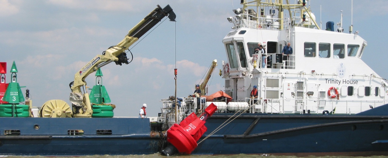
As a result it will benefit all of us to keep as up to date as possible.
If you wish to provide any update or additional information, or indeed
comment on any aspect of the book, please email us via the Contact page.
Contact Us
|
Update or Supplement |
Item |
Contents |
|
|
Update 1a Published 2010 |
This Update provides details on changes affecting the text, some recent valuable experience of depths over the Sunk Sand at both the Barrow No 2 crossing Point and the Sunk Beacon in July 2008 (Note that the Sunk Beacon collapsed onto the seabed at the beginning of 2010) and updates to Southbound table B for 5, 6 and 7 knots and the Eastbound Table E for 4, 5, 6 and 7 knots. For greater accuracy these should be used instead of the original pages. Please note one other correction: Page 8: Table of Routes. In the list of Sectors for Ramsgate to the Crouch via the N. Edinburgh Channel. Please amend Sector B4 to read B5 (both North and Southbound). A similar amendment needs to be made to the Schedule of Routes and their Sectors at the back of the book. |
|
|
Update 2 Published 2013 |
Various changes to buoyage have required some small changes to a few of the waypoints published on Page 51 of the book. This Update provides a replacement page contain all necessary corrections to the Waypoint list, explanatory text and three replacement Sector Outline boxes for pages 36 and 37 which are affected by the Copperas buoyage change. |
|
|
Supplement 1 Published 2010 |
New Sectors for Princes Channel added, providing 10 New Routes Including Essex Rivers to Ramsgate via Princes Channel and links to Sea Reach No. 1 for timing your arrival at the start of the Thames Following a request from a reader, I have added eight new sectors in this supplement which will enable you, when linking these sectors with those already in the book, to add ten new routes. For those of you without the book, I am afraid you will find these tables incomplete! The new Routes are:
|
|
|
Supplement 2 Published May, 2012 |
Foulger’s Gat was frequently shut in 2012 due to construction traffic on the London Array Wind Farm. Whilst such closures are unlikely in 2013, this new Supplement provided two new Sectors for readers to include a detour via Fisherman’s Gat for all routes in CTTE that currently use Foulger’s Gat. The Wind Farm is now (March 2013) fully constructed and is being prepared for commissioning. Readers should continue to monitor the Temporary list of Notices to Mariners on this site to get weekly updates on the work schedule of the Wind Farm. |
|
|
Planning Assistant Download without Working Example |
A pdf file replica of the Planning Assistant that folds- This will enable you to print off as many spare copies on your printer as you like. |
| Notice to Mariners - The Links Page |
| Windfarm Update |